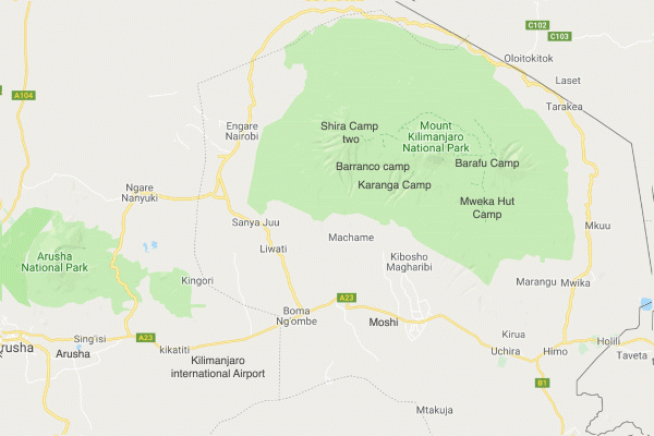

Shira Plateau is one of the most scenic and most fascinating areas of Kilimanjaro and offers magnificent views of Mt. Meru and the Great Rift Valley. Shira route is only offered to hikers who are already acclimatized to 4000m. Depending on weather conditions, you can drive by 4×4 or walk for 1/2 hours to Shira Hut (4000m). Game is often sighted and the scenery changes from forest, grassland, heath to moorland. The fast ascend by vehicle to about 4000m will require additional acclimatization, after which it will be possible to ascend Uhuru Peak either via the Western Breach or via Barafu hut.
You will be picked up by the staff of Gosheni Safaris from Kilimanjaro International Airport (JRO) and driven to your accommodation in Moshi. Participants will be given a short briefing for the climb the next day. Kits and the necessary equipment will be checked as well.
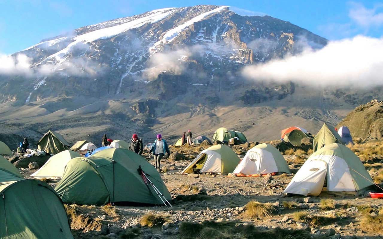
Altitude range: 1,500 meters (4,900 ft) – 3,850 meters (12,600 ft) Hiking time: 1 hour Distance: 3 km Habitat: Rain Forest After breakfast, we start a long drive to Lemosho Gate where you will complete the necessary registration. Afterwards, we continue our travel up the Shira Plateau to the trailhead. You will have a short hike through the rain forest to Shira Two Camp where your tent will be pitched.
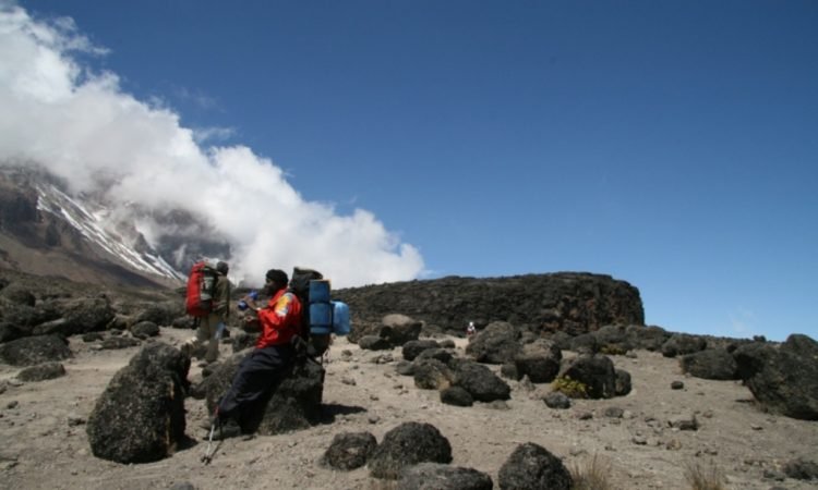
Altitude range: 3,850 meters (12,600 ft) – 4,600 meters (15,100 ft) – 3,950 meters (12,950 ft) Hiking time: 7 hours approx Distance: 14 – 15 km’s (9 miles) Habitat: Semi desert and rocky terrain From Shira Camp, the route turns east towards Kibo and you will find yourself hiking through semi-desert up to the fairly rocky conditions that surround Lava Tower at 4,600 meters (15,100 ft). After lunch, we descend approximately 650 meters to Barranco Camp. Along the way, you will have good views overlooking Western Breach and Breach Wall. Tonight’s camp is located in a valley just below the Breach and gives an impressive view of Great Barranco Wall.
Elevation (ft): 13,000ft to 13,100ft Distance: 5km Hiking Time: 4-5 hours Habitat: Alpine Desert This is a short day meant for acclimatization. We take on a route that heads down through the Karanga Valley over intervening ridges and valleys, and then joins up with the Mweka route. We turn left up the ridge and after another hour or so, we would have reached Barafu Hut. The last water stop on the route is the Karranga Valley, as there is no water available at Barafu camp. Barafu is the Swahili word for “ice” and it is a bleak and inhospitable camping area to spend the night. Totally exposed to the ever-present gales, the tents are pitched on a narrow, stony, and dangerous ridge. Make sure that you familiarise yourself with the terrain before dark to avoid any accidents.
Elevation (ft): 13,100ft to 15,300ft Distance: 4 km Hiking Time: 4-5 hours Habitat: Alpine Desert After breakfast, we leave Karanga and hit the junction which connects with the Mweka Trail. We continue up to the Barafu Hut. At this point, you have completed the South Circuit, which offers views of the summit from many different angles. Here we make camp, rest, enjoy dinner, and prepare for the summit day. The two peaks of Mawenzi and Kibo are to be seen from this position.
Elevation (ft): 15,300ft to 19,345ft (and down to 10,000ft) Distance: 5 km ascent / 12 km descent Hiking Time: 7-8 hours ascent / 4-6 hours descent Habitat: Arctic At 2am, we start our way to the summit between the Rebmann and Ratzel glaciers. We head in a northwest and ascend through heavy scree towards Stella Point on the crater rim. This is the most mentally and physically challenging portion of the trek. At Stella Point (18,600 ft), you will stop for a short rest and will be rewarded with the most magnificent sunrise (weather permitting). From Stella Point, you may encounter snow all the way on your 1-hour ascent to the summit. At Uhuru Peak, you have reached the highest point of Mount Kilimanjaro. Faster hikers will see the sunrise from the summit. From the summit, we now make our descent continuing straight down to the Mweka Hut camp site, stopping at Barafu for lunch. You will want gaiters and trekking poles for the loose gravel going down. Mweka Camp is situated in the upper forest and mist or rain can be expected in late afternoon. Later in the evening, we enjoy our last dinner on the mountain and have a well-earned sleep.
Elevation (ft): 10,000ft to 5,400ft Distance: 10 km Hiking Time: 3-4 hours Habitat: Rain Forest After breakfast, we continue the descent down to Mweka Park Gate to receive your summit certificates. At lower elevations, it can be wet and muddy. Gaiters and trekking poles will help. From the gate, we continue another hour to Mweka Village where our vehicle awaits to drive us back to the Hotel in Arusha.
Secure your dream tour with ease! Book early to guarantee a seamless journey filled with comfort, excitement, and unforgettable memories.